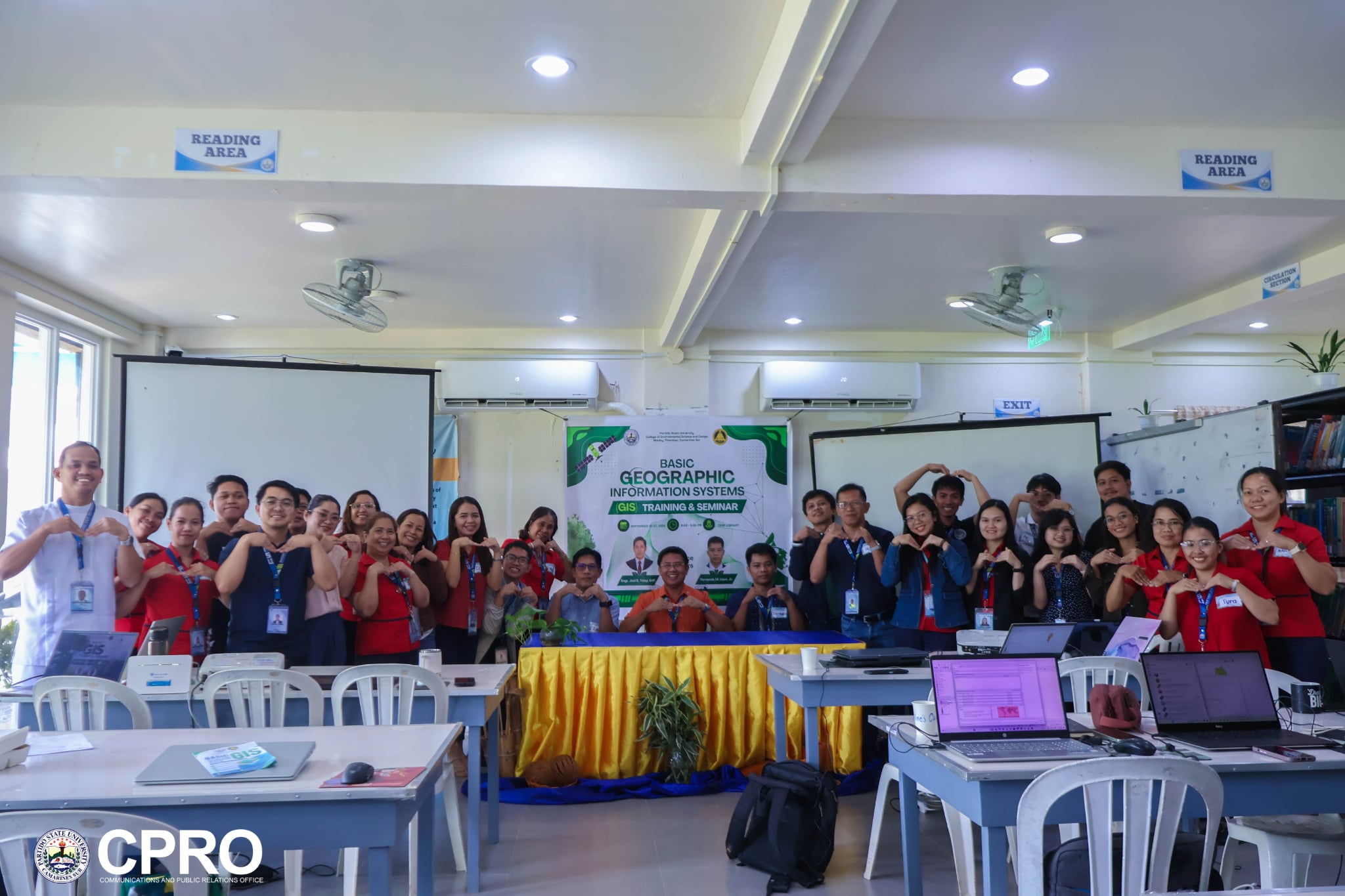
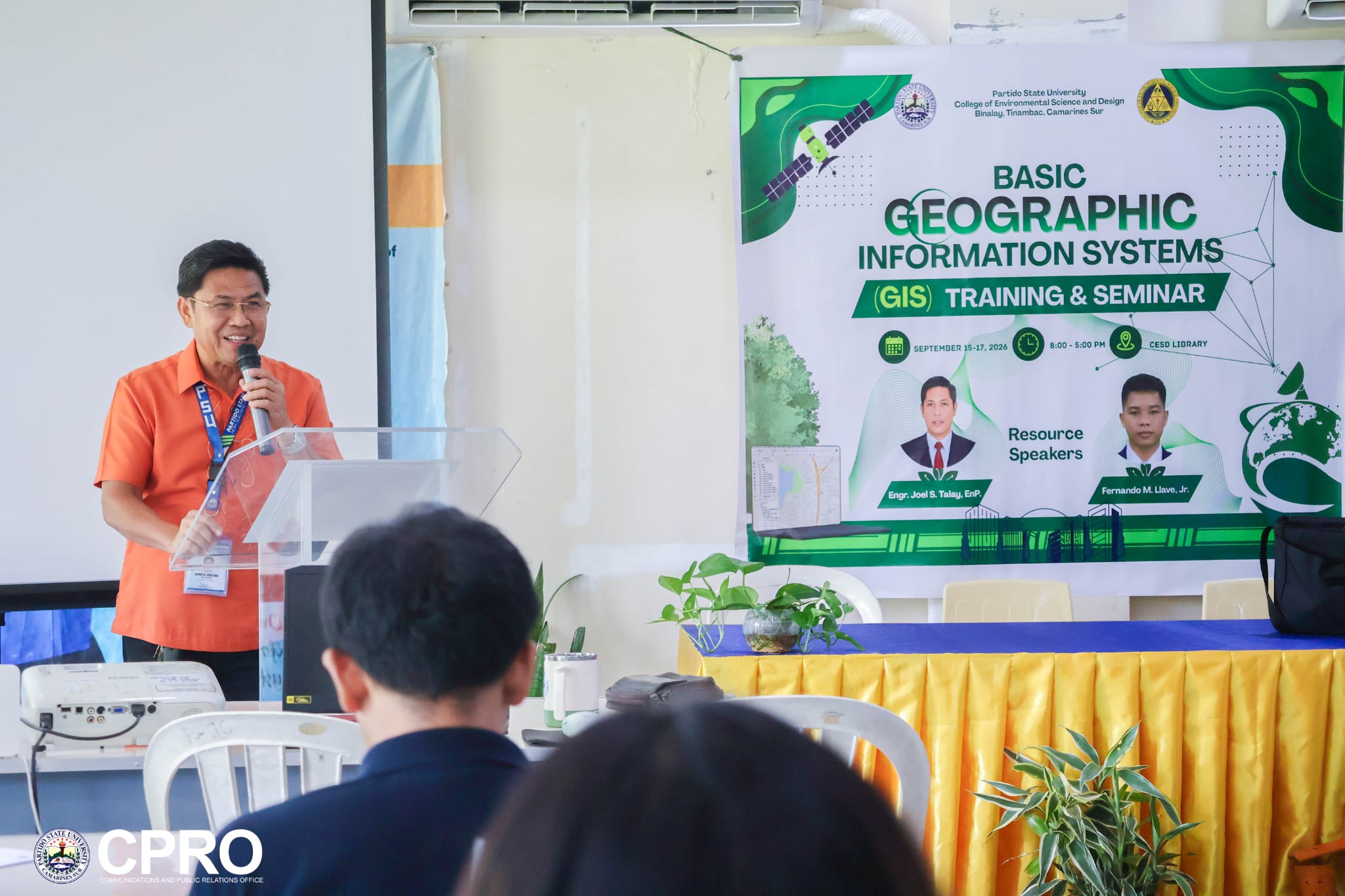
In an effort to reinforce its capacity for data-driven planning and decision-making, Partido State University College of Environmental Science and Design (CESD-Tinambac campus) held the Basic Geographic Information System (GIS) Training and Seminar last September 15-17, 2026, at the Tinambac campus.
The three-day training equipped faculty members from across the University with foundational GIS skills that can support teaching, research, environmental management, planning, and community development.
ParSU President Dr. Arnel B. Zarcedo underscored in his message that GIS is also a critical framework for understanding spatial relationships and driving better decisions, connecting isolated data points to people, resources, and real-world challenges, and transforming them into meaningful insights for planning, research, and community development. "GIS is not simply about making maps. It is about understanding where things are, how they are connected, and how that information can help us make better decisions," he ends.
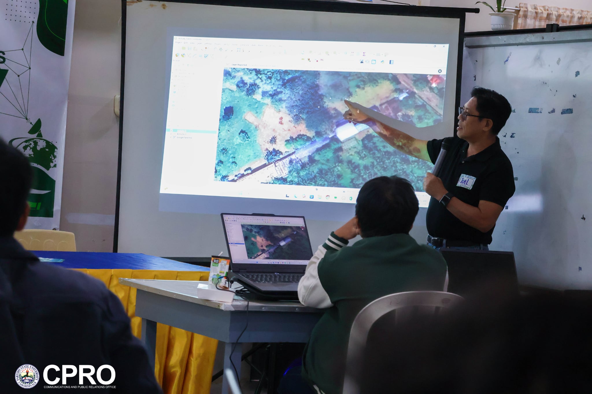
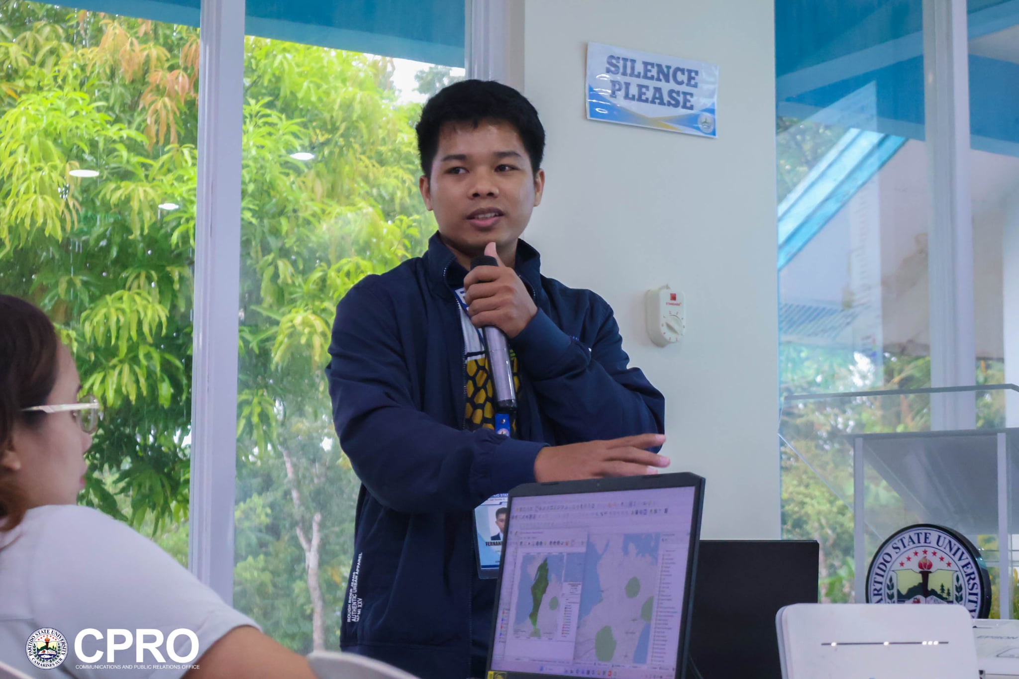
Leading the sessions were Engr. Joel S. Talay, EnP, and Mr. Fernando M. Llave Jr., both faculty members of CESD, who guided participants through the fundamental concepts, tools, and applications of GIS.
The training brought together faculty participants from the College of Sustainable Communities and Ecosystems, the College of Agribusiness and Community Development, the College of Science, the College of Engineering and Computational Sciences, the College of Arts and Humanities, and CESD, promoting the wider use of geospatial tools across disciplines.
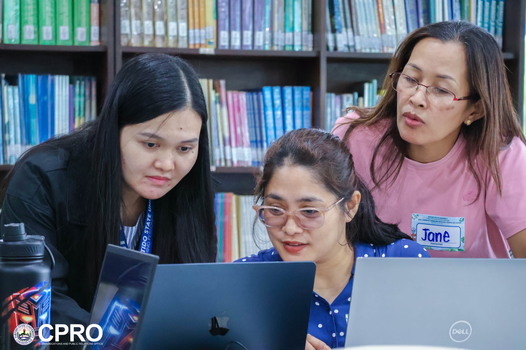
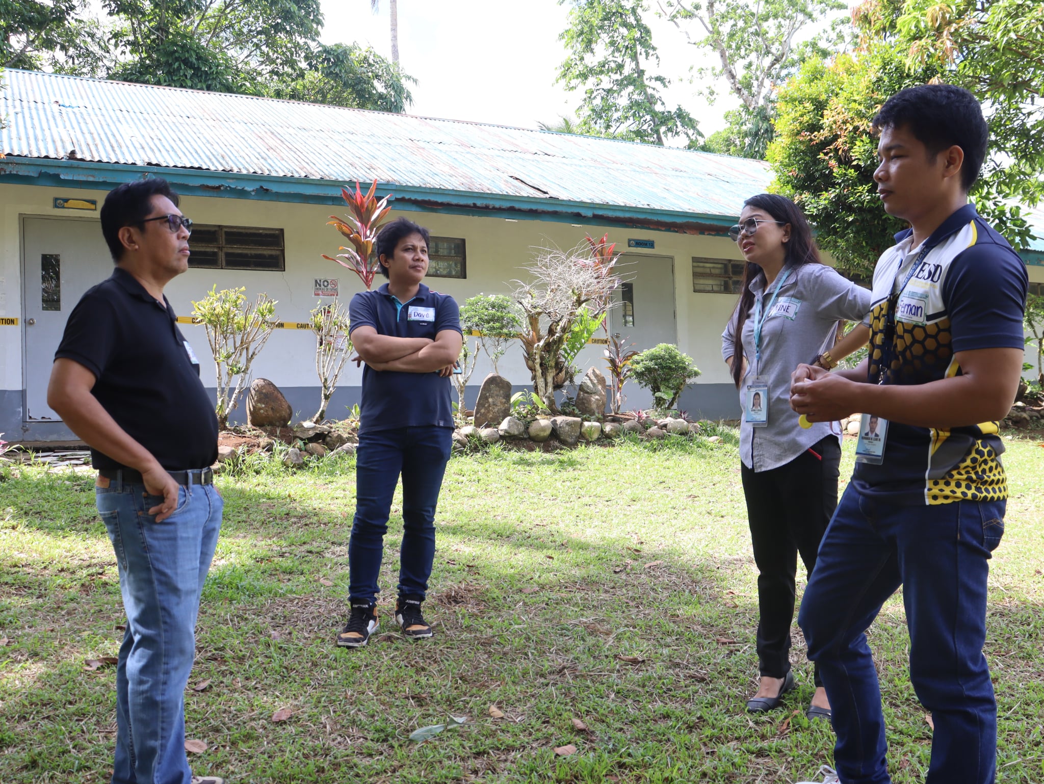
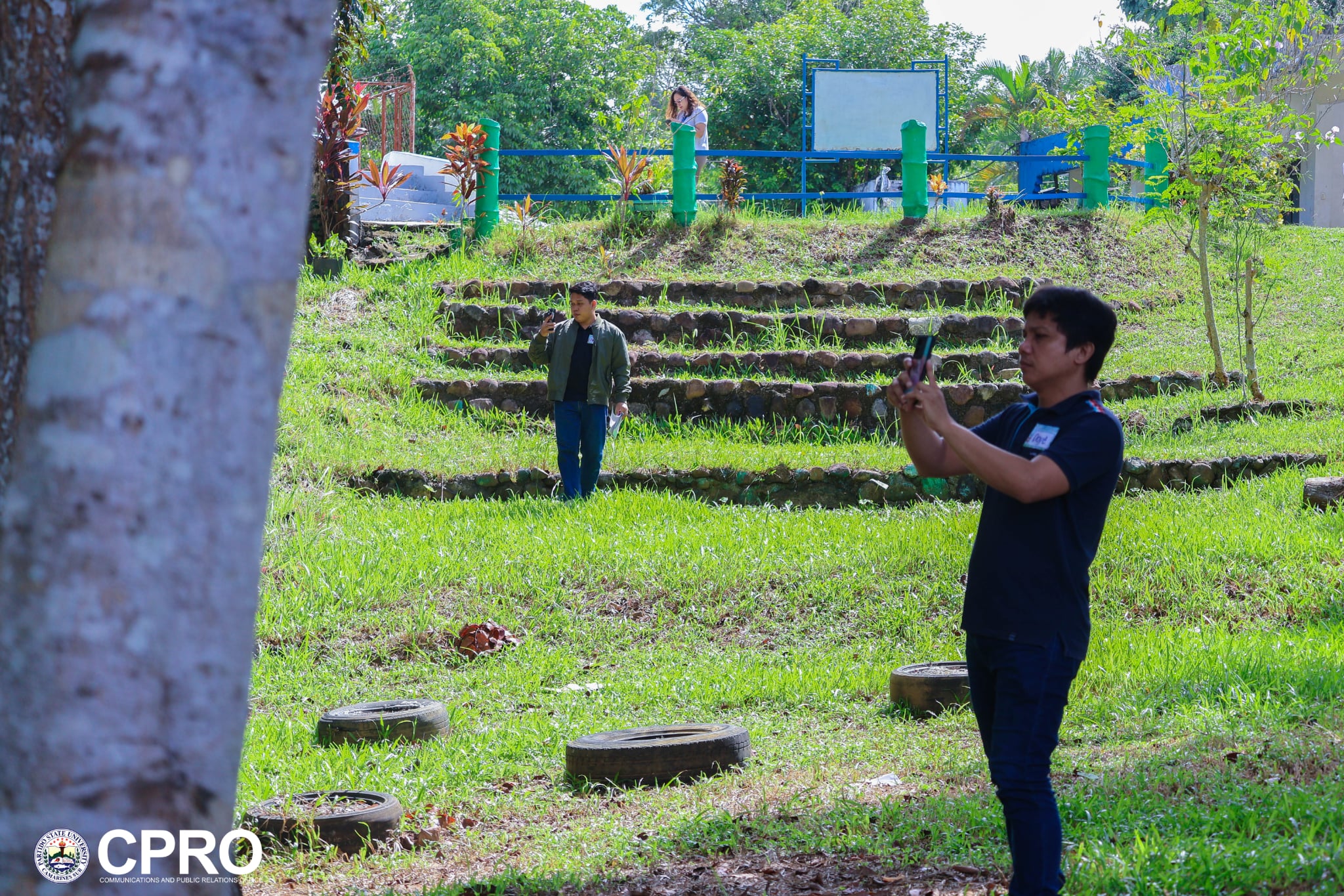
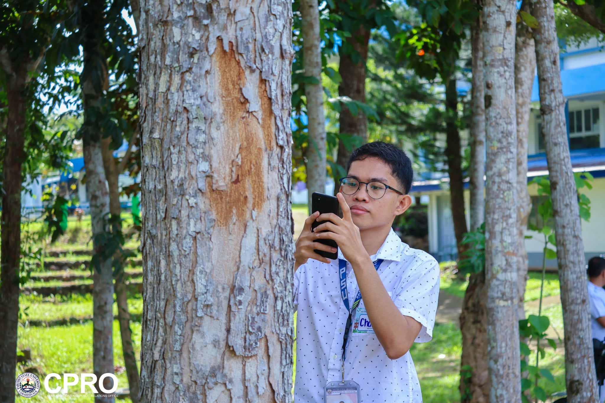
Participants moved from basic concepts to hands-on application, covering GIS fundamentals and applications, data exploration and acquisition, QGIS navigation and data management, field coordinate collection, and georeferencing, among others.
The sessions culminated in integrated GIS exercises where participants applied their newly developed skills in data collection, spatial analysis, map production, layout preparation, and presentation.
By bringing GIS skills beyond environmental science and into other academic disciplines, the training creates opportunities for more collaborative, evidence-based approaches to addressing local concerns.
Through initiatives such as this, ParSU continues to build the competencies of its academic community and strengthen its capacity to generate knowledge that responds to the needs of communities and the environment.
𝘗𝘩𝘰𝘵𝘰 𝘤𝘳𝘦𝘥𝘪𝘵𝘴: 𝘊𝘌𝘚𝘋